
Atlantic Basin Tropical Command & Storm Surge Modeler
Official National Hurricane Center (NHC) graphical outlook maps, interactive Atlantic infrared satellite radar, SLOSH coastal storm surge inundation models for Suffolk and Nassau, and NYS evacuation zones.
National Hurricane Center (NHC) Live Atlantic Outlooks
NHC Atlantic 7-Day Graphical Tropical Weather Outlook
Updated 4x Daily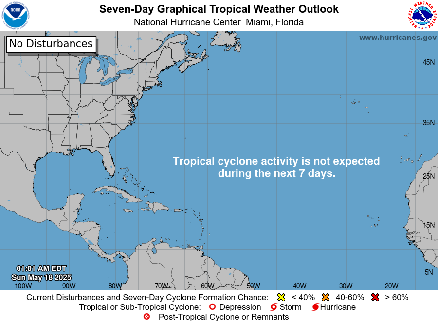
Displays areas of disturbed weather and potential tropical cyclone formation chances over the next 7 days across the Atlantic, Caribbean, and Gulf of Mexico.
NHC Atlantic 2-Day (48-Hour) Genesis Outlook
Short-Term Genesis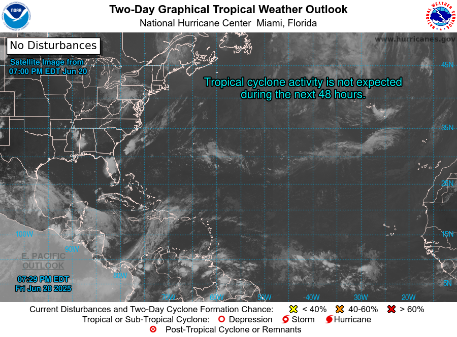
High-resolution 48-hour outlook highlighting immediate wave formation risks and active tropical depressions or named storms.
Interactive Infrared Satellite & Tropical Wave Radar: Atlantic Basin
Long Island Coastal Storm Surge Inundation Matrix
South Shore tidal canal communities (Freeport, Lindenhurst, Mastic Beach, Babylon canal fingers). Dune Road low-water overwash. Fire Island boardwalk breaches.
Widespread South Shore street flooding south of Montauk Highway. Multiple Fire Island ocean-to-bay breaches (Old Inlet, Smith Point). Port Jefferson Harbor front flooding.
Catastrophic inundation across Long Beach, Jones Beach, Fire Island, and entire South Shore. Water overtops Sunrise Highway in flood corridors. Extensive North Shore harbor bowl flooding.
Total islandwide devastation. Complete barrier beach submergence. Westhampton Shinnecock breach opens. Massive infrastructure disruption across both counties.
Suffolk and Nassau Counties designate coastal flood risk into three color-coded evacuation tiers:
Includes all barrier islands (Fire Island, Long Beach, Lido Beach), tidal marsh canal communities (Freeport, Lindenhurst, Mastic Beach), and properties within 100 yards of tidal bays.
Areas inland of coastal highways subject to surge funneling, including low-lying sections of Montauk Highway, Port Jefferson lower harbor, and Peconic riverfront.
Higher ground susceptible to severe flood backwater during record major hurricanes (Superstorm Sandy or 1938 Long Island Express benchmarks).
Oak and pitch pine root systems lose grip when soil is saturated by > 3 inches of rain. When gusts exceed 48 mph on saturated soil, tree uprooting and power outages spike exponentially across Suffolk County.
NEVER operate a portable generator inside a garage, basement, or enclosed porch. Generators must be positioned a minimum of 20 feet away from doors, windows, and fresh air intake vents.